


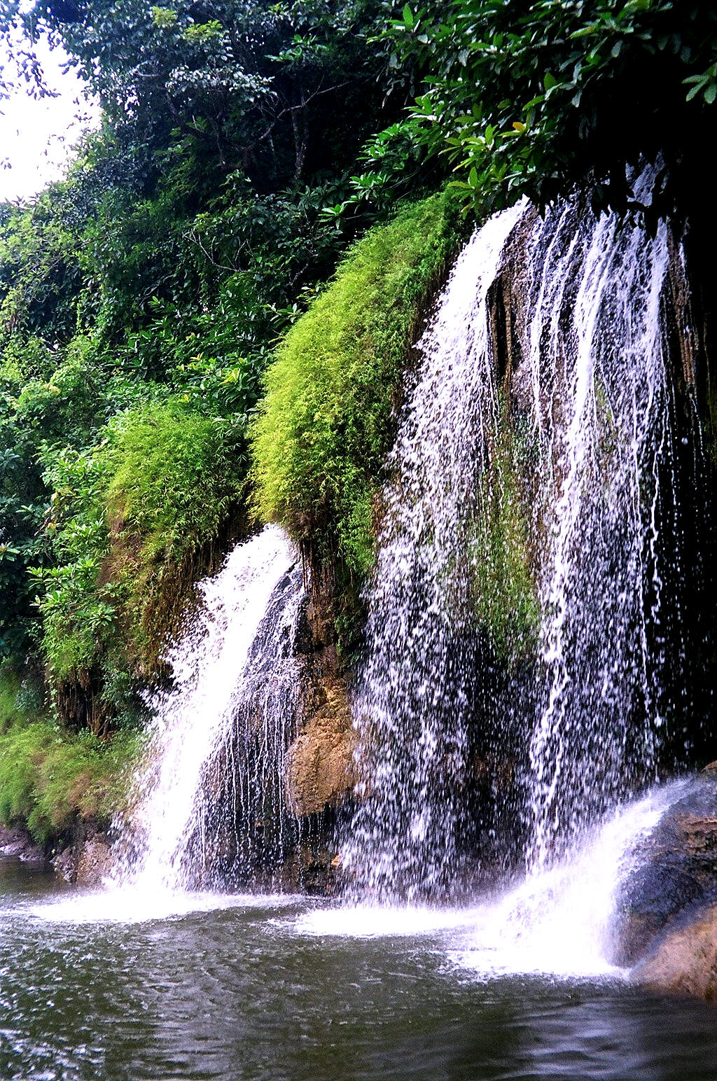
Ko Chang (Thai: เกาะช้าง) is the second largest island of Thailand, located on the Thai east coast 310 km away from Bangkok near the border to Cambodia in the Gulf of Thailand. The name means Elephant Island. It is a mountainous island with several waterfalls and rainforest. The island is part of the Mu Ko Chang Marine National Park. During World War II, Ko Chang was the scene of a naval battle between the Royal Thai Navy and a Vichy France squadron, in which the Thais were decisively beaten.
Until the mid-1980s the infrastructure on the island was undeveloped, but tourism has increased significantly since then. The island now receives 655,000 visitors annually, about two thirds of them Thai. There are also beautiful resorts now popping up all over the island.
Geography
The island is about 30 km long and almost 14 km wide, totaling 217 km². The national marine park covers of 650 km² of which 70 % is offshore. The interior of the island is mountainous, covered by tropical rain forest. The highest elevation measuring 743m is Khao Salak Phet. There are plenty of sandy beaches on the island, dotted with hotels and resorts.
The west coast settlements of Hat Sai Khao, Hat Kai Mook and Hat Ta Nam attract most of the tourists. The village of Laem Bang Bao on the south coast is also a favored destination. There is a single road linking the west coast. The remaining roads on the west coast have a high gradient, while the topography of the east coast prohibits roads. Most buildings are wooden stilt houses. The island is mostly reached by a ferry departing from Laem Ngop near Trat.
Administration
The island forms a district (Amphoe) in the province of Trat. It was formed on April 30 1994, when it was split off from Laem Ngop district, at first being a minor district (King Amphoe)[1].
Following a decision of the Thai government on May 15 2007, all of the 81 minor districts were to be upgraded to full districts[2]. With the publishing in the Royal Gazette on August 24 the upgrade became official [3].
The district is subdivided into two subdistricts (tambon), which are further subdivided into 9 villages (muban). There are no municipal (thesaban) areas, and 2 Tambon administrative organizations (TAO).
National park
Main article: Mu Ko Chang Marine National Park
In 1982 the island together with 50 surrounding small islands was protected as the Mu Ko Chang Marine National Park. About 85% of the island is part of the national park, mostly the rain forest in the interior of the island. Nearby coral reefs are also contained within the National Park. Notable animals in the park include the stump-tailed Macaque, the small Indian Civet, the Javan Mongoose, and 61 resident bird species. The Koh Chang Wart Frog (Limnonectes kohchangae) was originally thought to be an endemic species, but has now been found on the mainland as well.
External links
amphoe.com
Mu Ko Chang National Park
Koh Chang travel guide from Wikitravel
Koh Chang info Koh Chang information by Local resident and National Park Ranger.
The Guide Online A comprehensive Online Guide to Koh Chang, Trat and the Eastern Islands of Thailand.
IamKohChang.com The independent traveller's guide to Koh Chang from an expat resident.
 Easy to get to from Bangkok by air conditioned bus, Pattaya offers every imaginable form of water sports, plentiful and affordable golf courses, including some designed by the most famous names in the game, and stimulating nightlife. In the last few years Pattaya has, in an effort to broaden its appeal to family vacationers, toned down some of the rowdy behavior that had given it a dubious reputation. But you will still find a profusion of clubs and cabarets which cater to every taste and persuasion, and Pattaya's famously charming hostesses will still delight all your senses. Pattaya is the ideal destination for those seeking non-stop entertainment. It has boisterous go-go bars, clamorous discos and tumultuous nightclubs. Visitors seeking deserted and unpolluted beaches and a laid back atmosphere should go elsewhere.
  With it's many well equipped and reasonably priced dive shops Pattaya is a favorite destination of scuba enthusiasts from all over the world. While there are other, superior, dive sites in Thailand, Pattaya is the most convenient to Bangkok and is the jumping off point for trips to Ko Laan, and the nearby islands of Ko Sak and Ko Krok. More advanced divers seeking a more challenging experience may want to head out to the more remote Ko Man Wichai or Ko Rin, where visibility is better, or to the shipwrecks near Sattahip.
  Pattaya beach is world renowned for the variety and unrestrained hedonism of it's nightlife, though city leaders have in recent years made an effort to confine the commercial sex industry to an area of south Pattaya beach. The frenzied merrymaking diminishes as you move up the beach road to central and north Pattaya, and to neighboring Naklua beach.
Geography
Main article: Geography of Thailand
At 513,000 km² (198,000 sq mi), Thailand is the world's 49th-largest country. It is comparable in size to Spain, and somewhat larger than the US state of California.
Thailand is home to several distinct geographic regions, partly corresponding to the provincial groups. The north of the country is mountainous, with the highest point being Doi Inthanon at 2,576 metres (8,451 ft). The northeast consists of the Khorat Plateau, bordered to the east by the Mekong river. The centre of the country is dominated by the predominantly flat Chao Phraya river valley, which runs into the Gulf of Thailand. The south consists of the narrow Kra Isthmus that widens into the Malay Peninsula.
The local climate is tropical and characterised by monsoons. There is a rainy, warm, and cloudy southwest monsoon from mid-May to September, as well as a dry, cool northeast monsoon from November to mid-March. The southern isthmus is always hot and humid. Major cities beside the capital Bangkok include Nakhon Ratchasima, Khon Kaen, Udon Thani, Nakhon Sawan, Chiang Mai, Surat Thani, Phuket and Hat Yai (Songkhla Province).
See also: List of islands of Thailand